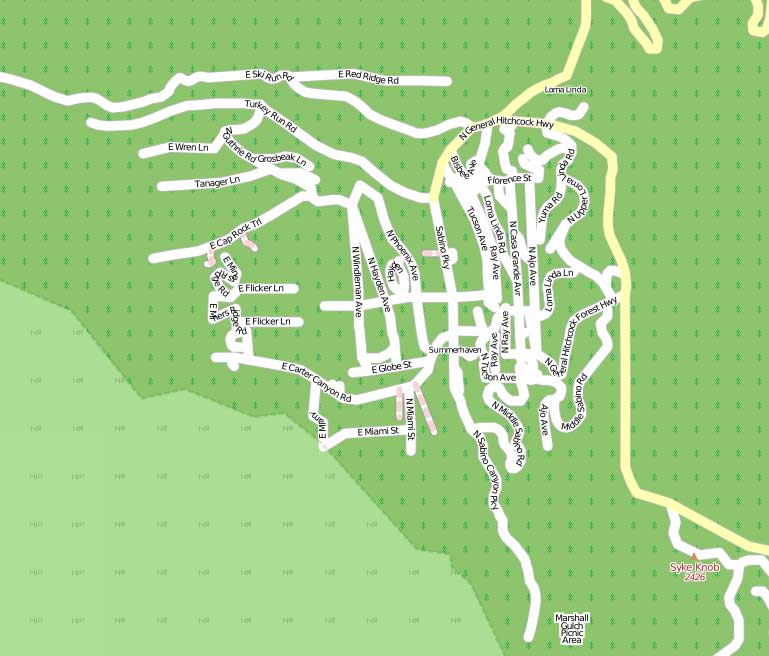
The village of Summerhaven is in the Santa Catalina mountains just north of Tucson. The US Tiger data imported into Open Street Map is a mess, and needs to be fixed. Unfortunately the satellite images from Yahoo are not much help for that place.
At the weekend we plan to undertake our first mapping trip. This will involve driving around all the roads in the village with the GPS unit turned on and taking pictures of street signs and points of interest.
Back home JOSM can be used to load in the track log and match up the timestamps of the pictures with where the GPS unit was at the time. Hopefully that will give me all the data I need to rip out Summerhaven and draw it from scratch, but in the correct place and with more detail.
Here is a picture of what Summerhaven current looks like.
Comments are closed