Interesting Tech Projects
Posts tagged poster

Poster Map of East Yorkshire
Jan 19th
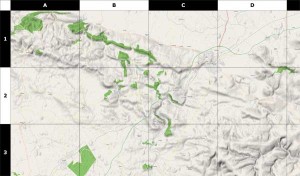
Using data from the OpenStreetMap project (taken a couple of days ago) along with some utilities such as Maperitive and custom software, I have generated a 39 inch x 31 inch poster of the East Riding of Yorkshire. This map includes hillshading and contour lines and individual streets can be seen.
Some assembly is required. Print it out on A4 paper, cut out the sheets and then glue them together. Download it here.
Here is a sample:
